Full kitchen renovations
Removing the old kitchen, reworking the layout and installing new custom cabinetry, benchtops and splashbacks, with the plumbing and electrical work sequenced around the build.
Kitchen renovations and custom kitchens for Maroota homes, designed with you, made in our Guildford workshop and installed by H&R Kitchens.
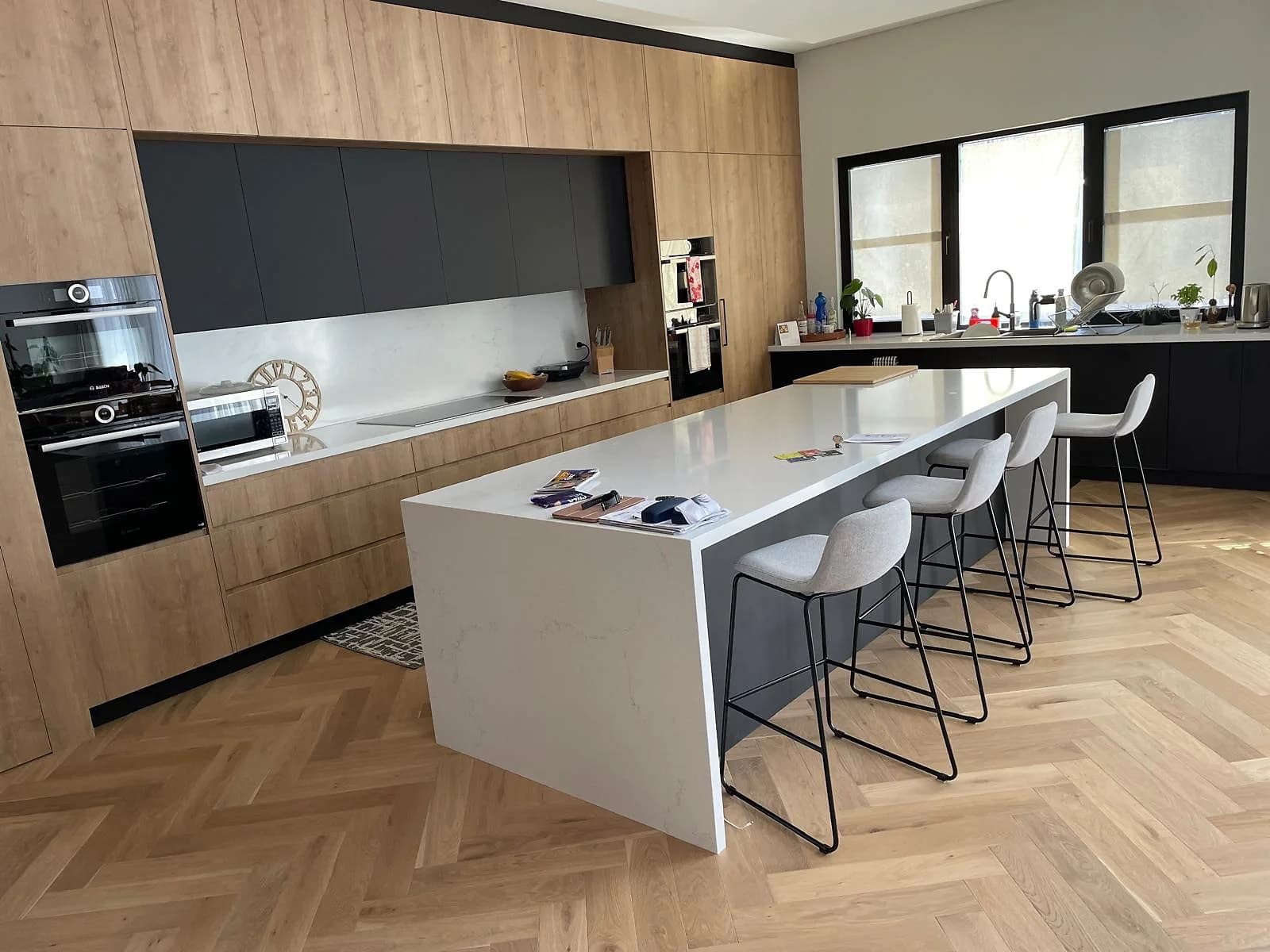
Kitchen services
A complete renovation, a made-to-measure kitchen, or new cabinetry, benchtops or splashbacks for the kitchen you have.
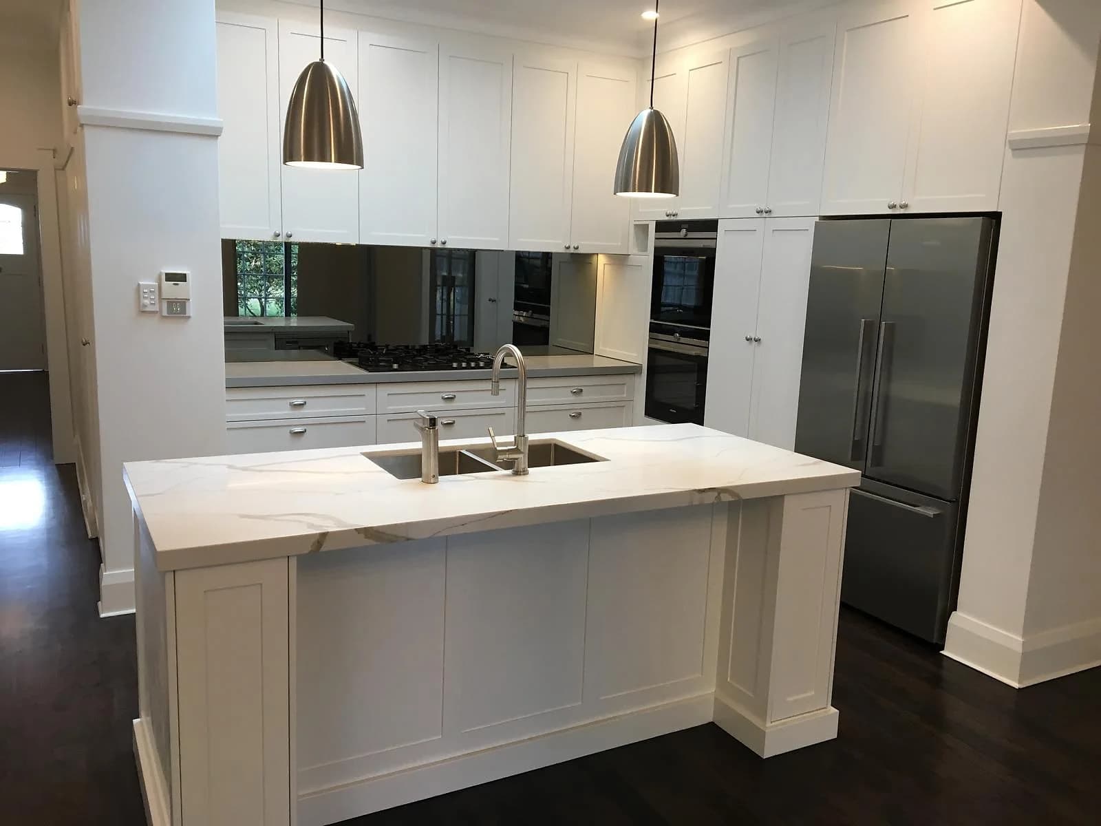
Layout, cabinetry, surfaces and installation in one plan.
Explore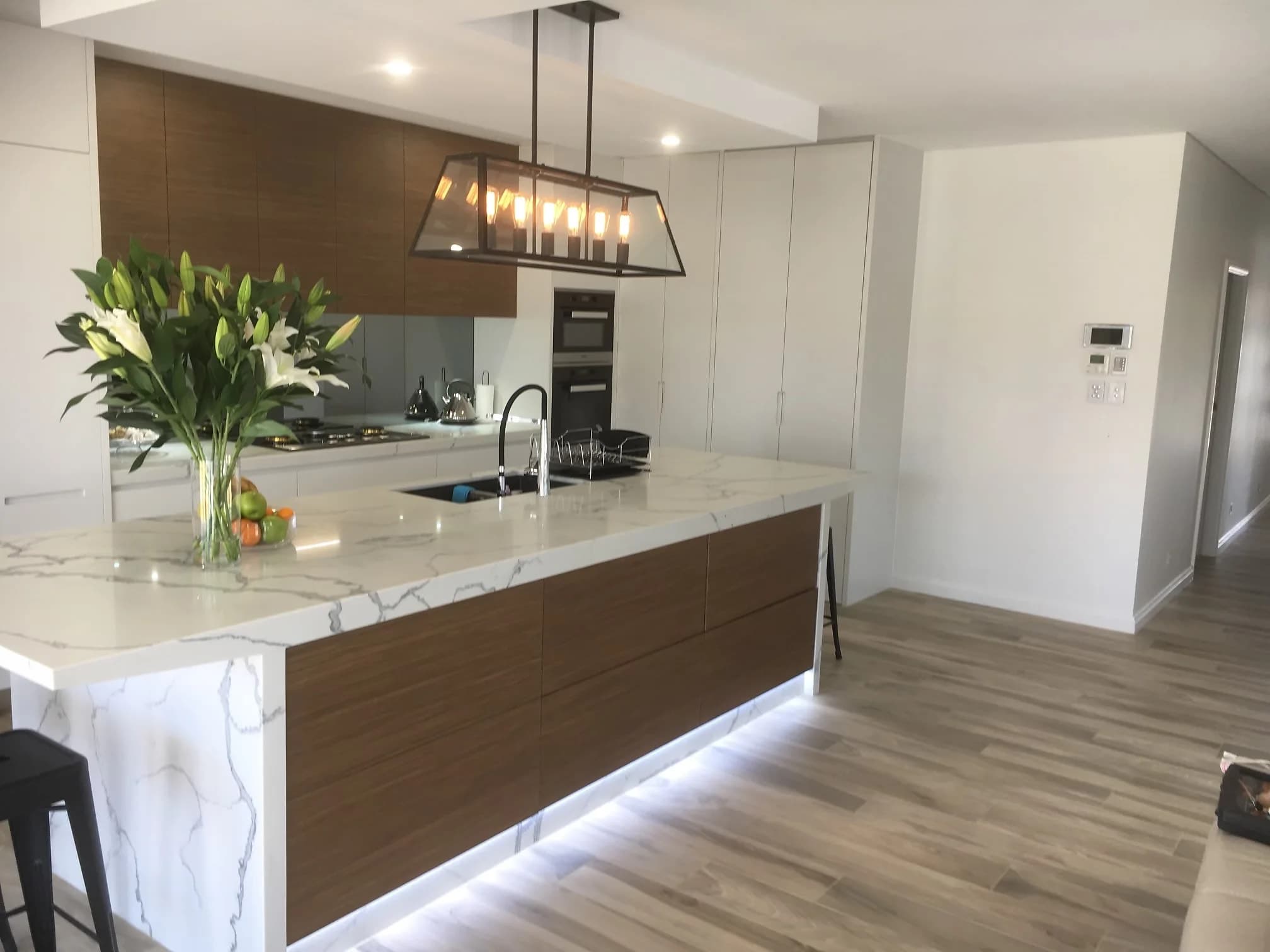
Made-to-measure cabinetry, islands and clever storage.
Explore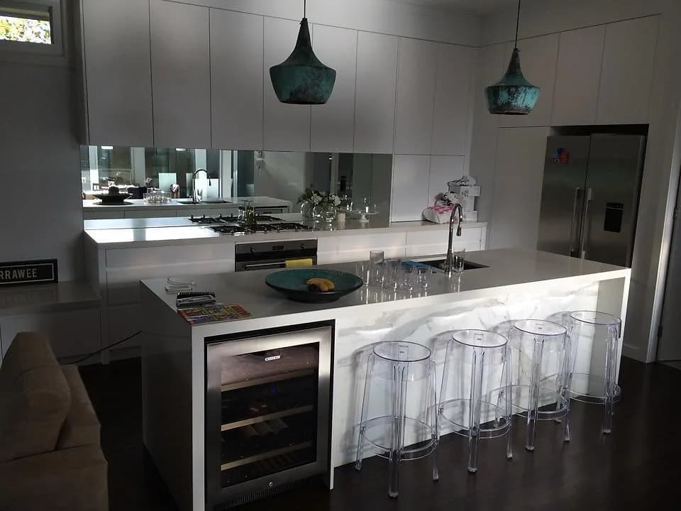
A buildable plan shaped around how you cook and live.
Explore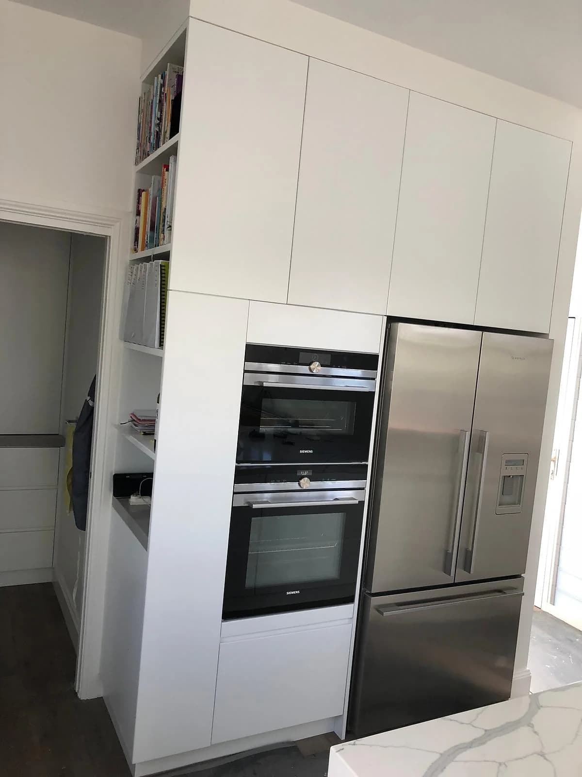
Cabinets, pantries, overheads and integrated storage.
Explore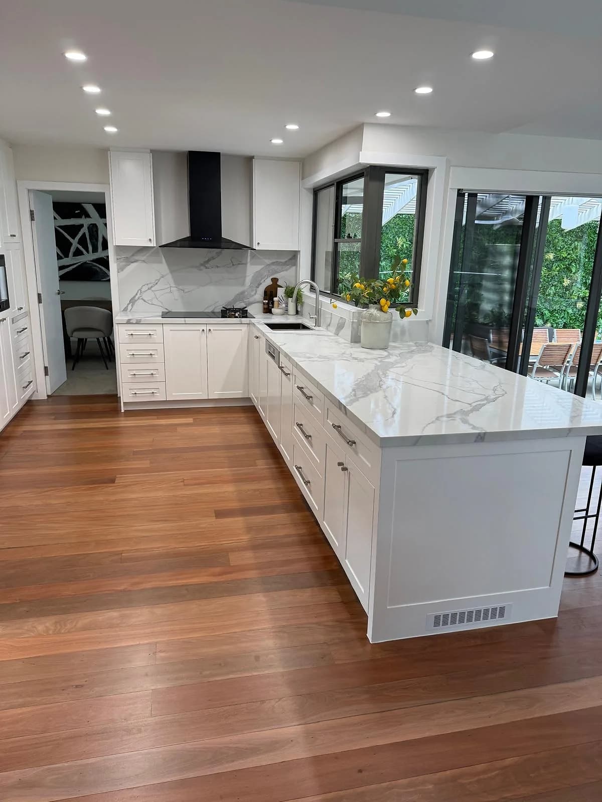
Natural stone, porcelain, laminate and timber, specified with the cabinetry.
Explore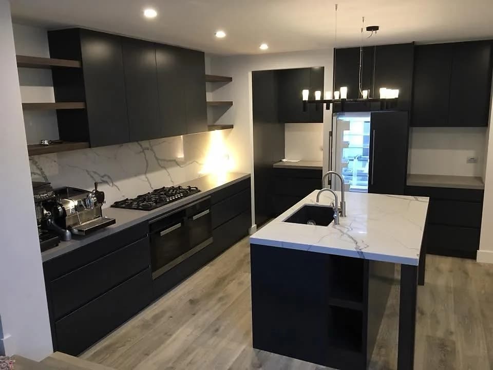
Glass, tile and stone, cut to match your benchtop.
ExplorePrice guide
In a house, the price depends most on the size of the island and pantry, how much cabinetry the room takes, whether the layout, plumbing or walls change, and the benchtop, splashback and appliances you choose. We measure the room and give you a written quote before any work starts.
H&R Kitchens job prices, given as a planning guide rather than a quote. Reviewed October 2026.
H&R Kitchens portfolio
Compare island seating, fitted storage and cabinet finishes in completed H&R projects.
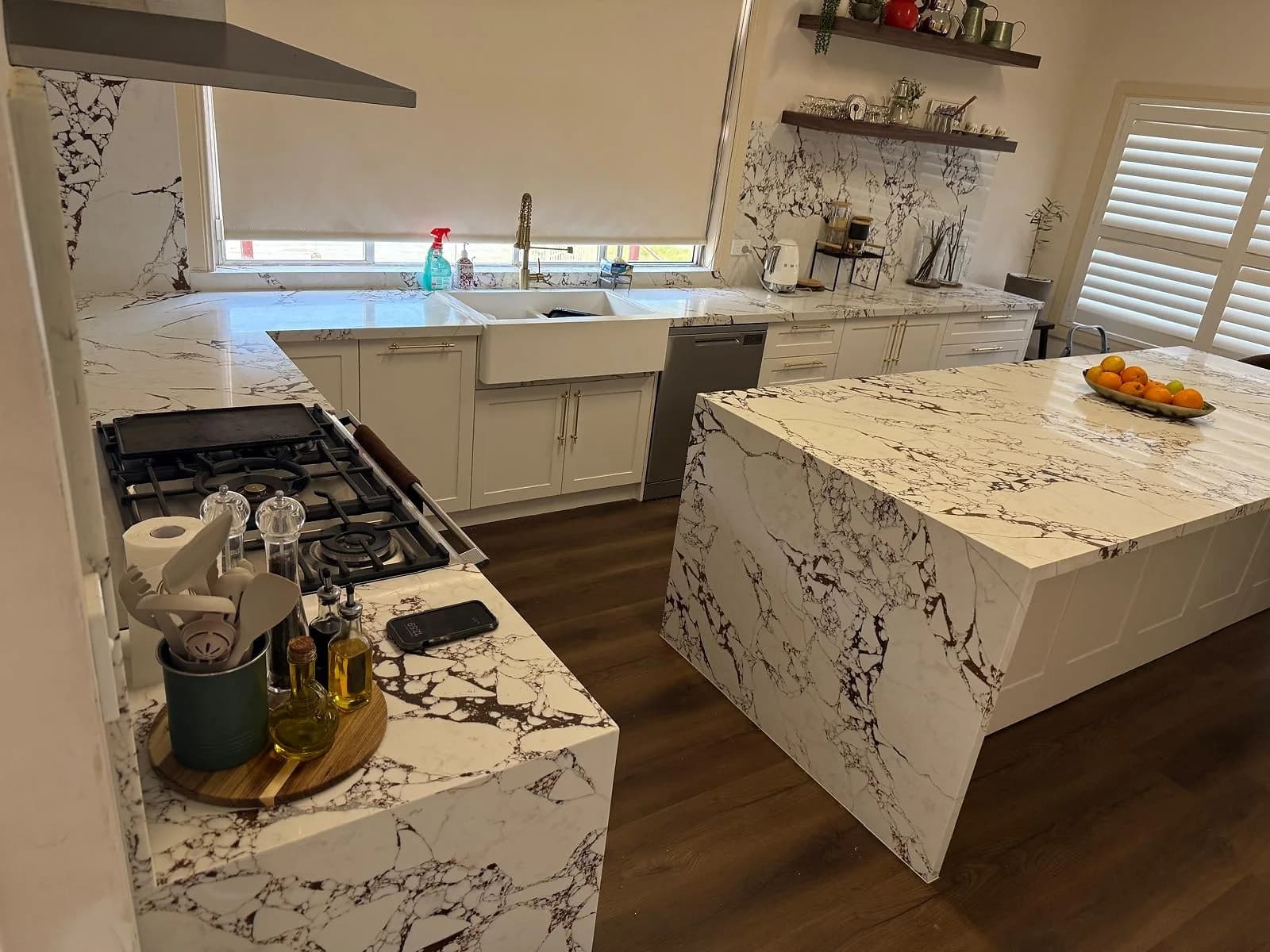
A classic white shaker kitchen in Castle Hill with an oversized island, gold fittings and strongly veined marble-look surfaces.
View project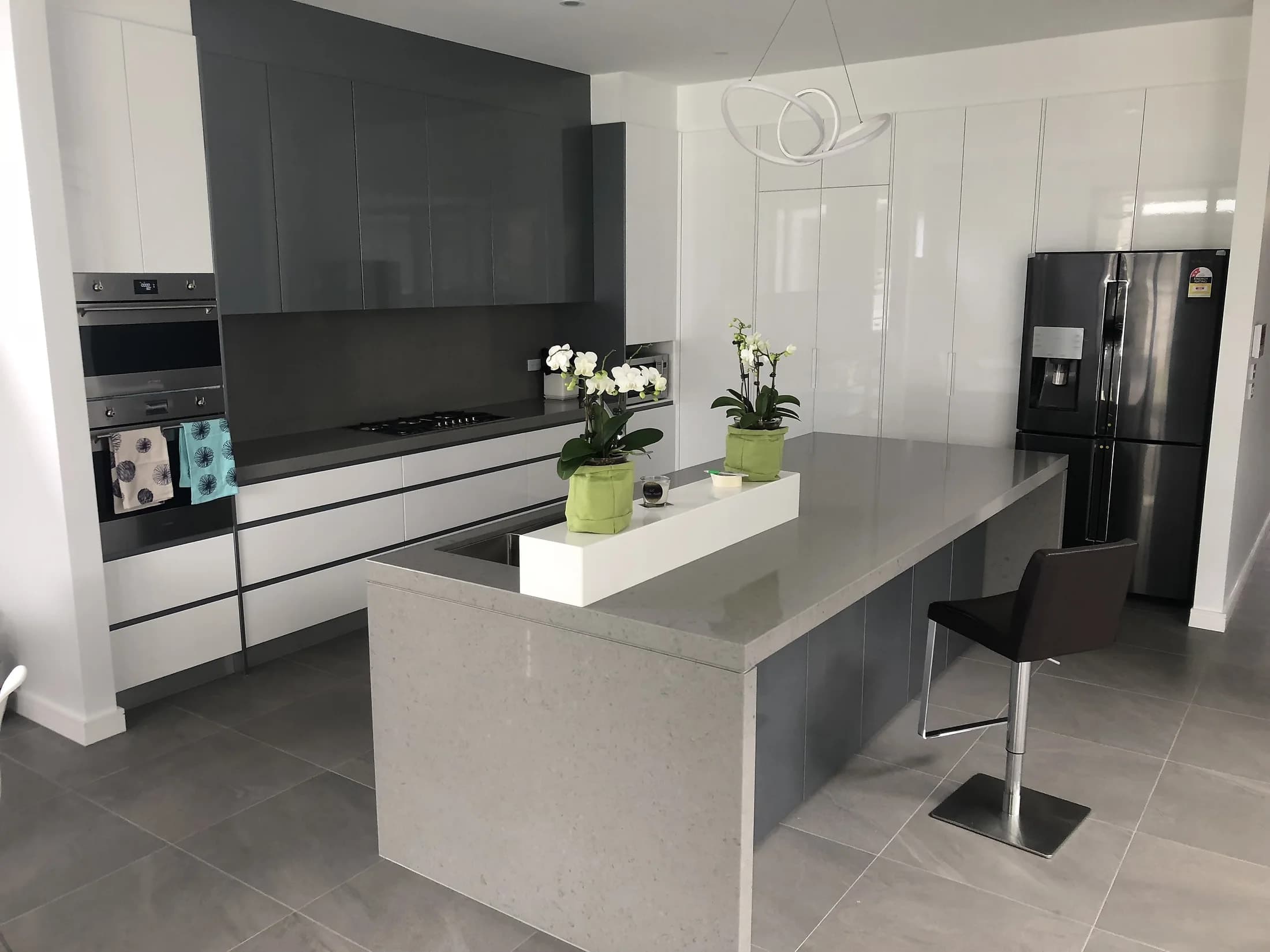
A two-tone kitchen in Bella Vista with gloss white and charcoal cabinetry, a grey waterfall island and a sculptural ring pendant.
View project
A high-gloss white kitchen in Bella Vista with full-height cabinetry, a marble-look waterfall island and an attached dining surface.
View projectGoogle reviews
Recent reviews from our Google Business Profile, with a link to every review.
 Ibrahim Kamoun
I highly recommend H&R Kitchens to anyone looking for exceptional service and high-quality workmanship. From start to finish, the entire experience was professional, smooth, and stress-free. The staff were incredibly friendly, approachable, and helpful, and the level of customer service was outstanding throughout the whole process. Their pricing is very fair and reasonable, especially considering the excellent quality of their work and attention to detail. It’s clear that they genuinely care about their customers and take pride in delivering a high standard of service. Overall, I had a fantastic experience with H&R Kitchens and couldn’t be happier with the quality, service, and value they provided. I would confidently recommend them to anyone looking for a reliable, professional, and trustworthy kitchen company.
 Cindy Pillay
On time, on budget and crew always cleaned up every single day. Could not ask for a better contractor. We hired them for our full kitchen, bathroom and laundry. Highly recommend this Company Cindy Pillay
 Paul Biscoe
Sam from H&R Kitchens did an incredible job on my kitchen, laundry cabinets and bathroom during my recent renovation. A top quality job, great workmanship and a professional team of installers. Cleaned up after the job and left the place spotless like it was their own home. I would highly recommend H&R Kitchens to anyone doing a renovation. A great experience working with this professional tradesmen, definitely a five star rating.
Reviews from Google. Showing the most recent reviews with written comments.
Kitchen renovations
The kitchen work we plan most often in homes like these.
Removing the old kitchen, reworking the layout and installing new custom cabinetry, benchtops and splashbacks, with the plumbing and electrical work sequenced around the build.
An island or peninsula sized for the room, with seating, deep drawers and a walkway that keeps the kitchen and dining area working together.
A separate pantry or a wall of full-height cabinetry for appliances, food and bulk storage, so the main benches stay clear.
How it works
We measure on site, then settle the layout, storage, surfaces and appliances with you. Usually about 2–6 weeks.
Your cabinetry is made to the confirmed measurements before the old kitchen comes out. Usually about 4–8 weeks.
We remove the old kitchen and install the new cabinetry, with the plumbing and electrical work sequenced around it. Usually about a week on site.
Stone and porcelain benchtops are templated once the cabinets are fixed, then the splashback and final adjustments follow. Usually about 1–2 weeks.
Before you enquire
As a planning guide, a smaller replacement with limited layout changes typically costs around $25,000–$35,000, a more involved renovation with upgraded cabinetry and finishes $35,000–$60,000, and complex, high-specification work $60,000–$100,000 or more. The layout, the amount of cabinetry, the benchtop and splashback materials, appliances and any plumbing or electrical changes make the difference. Your written quote is based on your measured room.
A typical full kitchen renovation takes about 10–14 weeks from the first measure to handover. Most of that is design and making the cabinetry in our workshop; you are usually without a working kitchen for about 2–4 weeks while the old kitchen comes out, the new one goes in and the benchtops and splashback are fitted. Your quote includes a schedule for your kitchen.
Often, yes. We check the room, the walkways and where the plumbing, gas and power run, then show you what moving the sink or cooktop, or adding an island, would involve before you decide.
Yes. H&R Kitchens designs the kitchen with you, makes the cabinetry to your measurements in our Guildford workshop and installs it, so one team is responsible from the measure to the final adjustment.
Nearby service areas
Request a quote
Send a few photos of the room, the property type and what you want to change. We'll come back to you with the next step and a time to measure.
Call 0414 788 236